The Cornishtown Loop
MAP Rutherglen
• From the Rutherglen Wine Experience, head south-east along Main Street.
• This turns into the Rutherglen-Chiltern Road. Follow for approximately 3.5km, before turning left into Cornishtown Road.
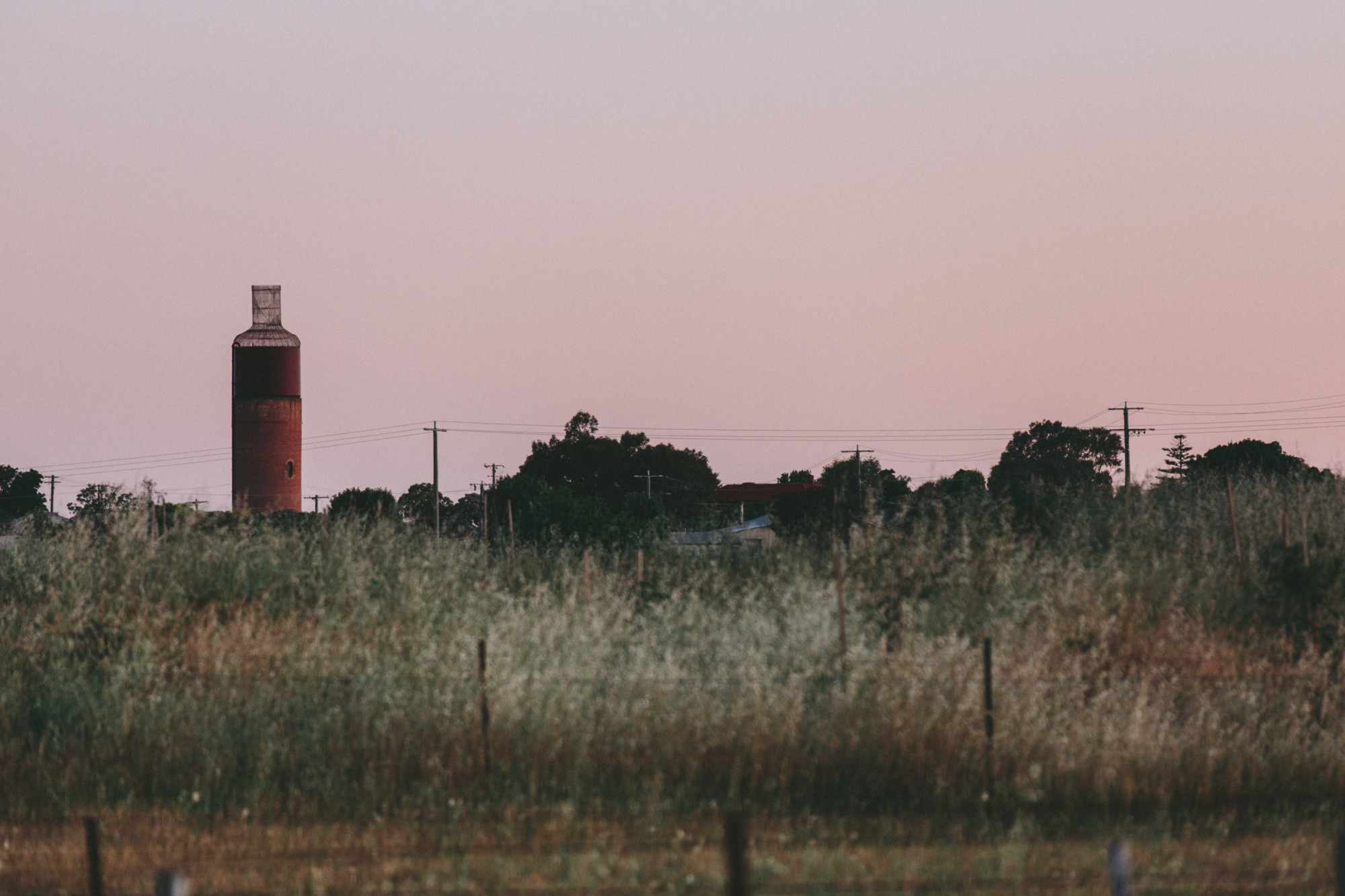
• Continue for 12km along the gently undulating Cornishtown Road, with the impressive French provincial tower of Mount Ophir - a sign of the region's rich winemaking history. At the end of Cornishtown Road turn sharp left into Chiltern-Howlong Road, passing through the fringes of the Box Ironbark National Forest.
• Continue north, crossing the Murray Valley Highway before turning left onto Gooramadda Road.
• Continue along Gooramadda Road for approximately 16kms back into Rutherglen.
")
Find Your Ride
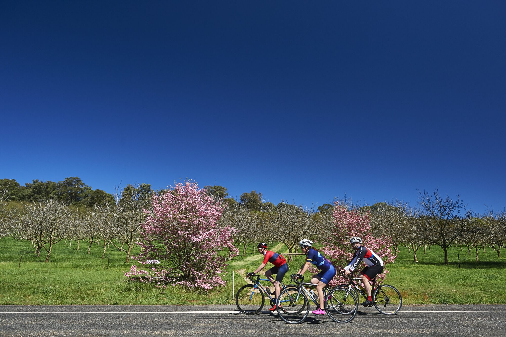
Cool down in the lake and picnic along the way, wherever your bike takes you there’s only one to remember; there are no rules except to find your own pace and see where you end up.
The Chiltern Valley Loop